
Significant Geologic Boundary
A geologic interpretive sign along highway 16 in the Black Hills of South Dakota.
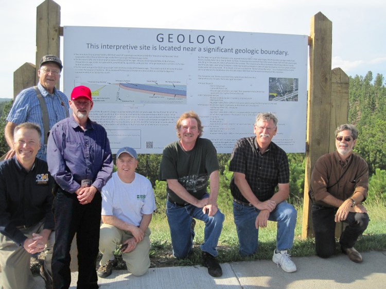
(Photo taken August 23, 2013)
Not pictured: Derric Iles (SDGS), Nuri Uzunlar (Black Hills Natural Sciences Field Station, SDSM&T), Josh Valder (USGS), Gary Engel (DOT), and John Matthesen (DOT)
Additional information and resources supporting the geologic road sign:
 South Dakota Section AIPG